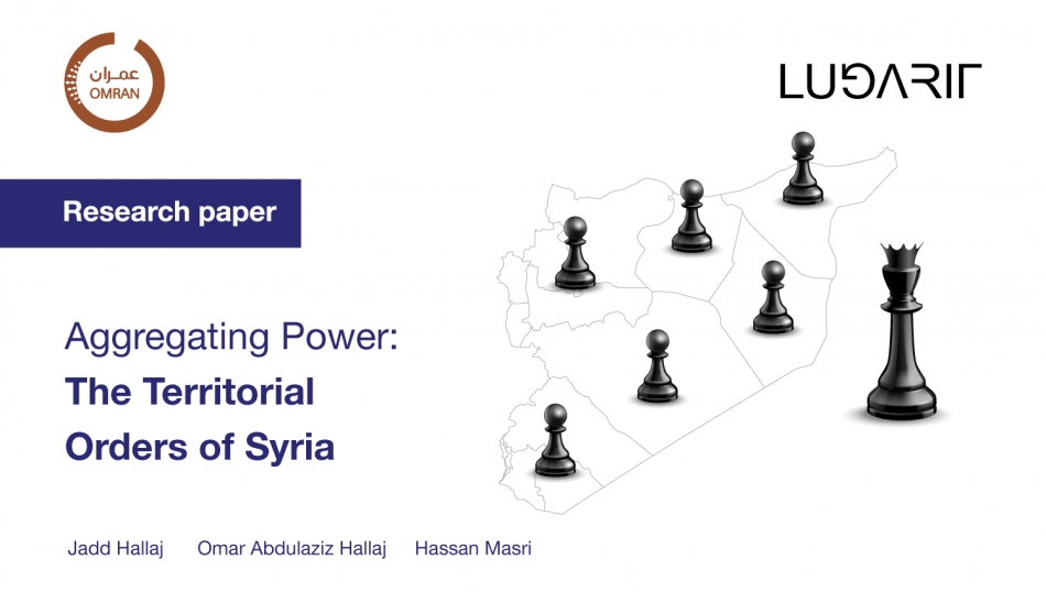
Executive Summary
In the wake of the Assad Regime’s collapse on the 8th of December 2024, Syria stands at a critical crossroads, as it presents both opportunities for reform and risks of further fragmentation. Previously, management of the territorial system of Syria was heterogenous despite the State’s hegemonic outlook. The central state applied diverse formulas for managing the territory focused mainly on building loyalty to the Baath regime rather than focusing on the efficiency and effectiveness of administration to serve local communities. During the upheaval of the Syrian revolution and the ensuing conflict, authorities in Damascus transformed the territorial system in Syria. Many of the areas that fell outside the control of the central regime adopted their own territorial orders. Today, amid the uncertainty surrounding the country's future, there is an urgent need to revisit and understand the territorial structures of Syria—examining their historical trajectories and evolving geography leading up to November 2024. This understanding is crucial for guiding future efforts in restructuring the territorial order in an effective manner; this will be essential for reorganizing the country’s territorial hierarchies, administrative borders, and political economy in a manner that supports sustainable reconstruction and fair representation of Syria’s diverse communities.
As such, this paper proposes an analytical framework to approach the complex spatial dynamics of Syria's territorial orders, examining how they were shaped by historical legacies, centralization efforts, and the impact of 14 years of conflict, influencing governance practices and everyday life across the country. Aggregation in this context refers to the consolidation and concentration of authority at various levels of territorial administrations within set boundaries, shaping the interactions between central and local authorities. Whereas other papers in this series will focus on governmental and formal and informal political dimensions of territories, this paper will focus on spatial manifestations looking into distribution of administrative units, internal borders, and population densities.
The paper begins with an overview of the historical roots of territorial governance in Syria, summarizing its evolution from Ottoman administrative reforms seeking balanced centralisation, through the strong asymmetries imposed by the French Mandate and into post-independence highly centralized governance models. Most importantly, we discuss how territorial systems were divided in two separate overlapping frameworks that were never reconciled, mainly the territorial units (governorates, districts and sub-districts) and the municipal units (cities, towns, and townships). Dynamically changing administrative divisions were persistently used as mechanisms to consolidate central authority and exert control over diverse and often fragmented territories. Societal and regional divisions were often exacerbated by introducing and reinforcing strong spatial asymmetries, which served as tools for managing or manipulating local populations and resources in return.
The paper places a critical focus on the Decree 107 of 2011 as the existing legal framework for managing the local governance. This law will be the point of departure to reform the system of territorial governance in Syria. Understanding how the law was implemented to demarcate the local administration units will be critical for any reform process in the future. The said decree aimed to promote decentralization by granting greater autonomy to Local Administrative Units (LAUs). In theory, it offered a pathway to increased local agency in managing local affairs, transparency, and civic participation. However, in practice, central control remained entrenched, as the central government retained the power to dissolve councils, manipulate their formation, and reconfigure territorial boundaries to serve its political interests. This led to imbalances and disparities in the distribution of councils, limiting genuine local autonomy and fostering dependency on central authority as the ultimate arbiter in local affairs. Rather than achieving meaningful decentralization, the implementation of Decree 107 often reinforced existing hierarchies and patronage networks, undermining the law's intended reforms.
Conflict further fragmented Syria’s territorial governance, giving rise to distinct models of local governance under various de facto authorities. Each governance model tried to adapt to unique political, social, and regional considerations, resulting in disparate approaches to administration, resource allocation, and public service provision. Today, despite the fall of the Assad regime, the legacy of fragmented spatial geometries highlight the challenges of reunifying the territory, adjusting regional disparities and achieving a viable cohesive governance model. In this context, Decree 107 serves as the starting point in understanding the territorial framework and setting a baseline for comparison between the divided areas, as a first step in developing a new unified framework.
By interrogating the spatial dynamics of territorial orders, this paper illuminates the dual role of territorial governance structures as instruments of control and as reflections of socio-political realities. The study underscores the importance of re-designing territorial orders using new spatial demarcations that could balance political authority, administrative efficiency, and local identity. Such designs must prioritize inclusivity, equitable service delivery, and meaningful local autonomy to foster stability, cohesion, and sustainable development. Ultimately, the success of territorial governance in Syria will depend on its ability to adapt to shifting socio-political realities while addressing historical asymmetries, finding commonalities in the various territorial models and harmonizing differences to promote a more equitable distribution of power and resources. We conclude with a series of recommendations for the future of territorial orders in Syria:
- Tackling Systemic and Historical Imbalances: Addressing entrenched disparities to ensure equitable distribution of resources, authority, and representation across all regions.
- Leveraging Cities as Localized Cross-Geography Constants: Utilizing urban centres as anchors of stability and development, fostering connectivity and cohesion across fragmented territories.
- Balancing Peripheral Orders: Harmonizing the relationships between central and local authorities to promote inclusivity, efficiency, and local empowerment in governance.
For More: https://bit.ly/3DgYrue